
Every campsite at Green Ridge State Forest, site by site.
Green Ridge's 100 first-come campsites run from the Potomac's bank to the ridge tops, up to forty minutes of gravel from headquarters. Each one has a page with its ground, the drive in, the nearest water and the noise. Choose one for your trip, then check what the sign-up sheet at headquarters last showed. Nothing to install.
Availability ·
Independent, free, and built by campers. Not a DNR service.
What the clipboard at HQ last showed.
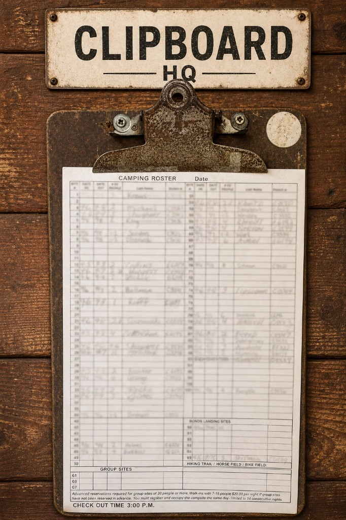
There is no digital booking system. The only record of who is camping where is the sign-up sheet at headquarters. A camper photographs it, the app reads the rows, and those rows colour the pins on the map. No name or permit number is ever recorded.
Reading a photo of the sign-up sheet
As the bar moves down the photo, three things are kept from each line: the site number, the date in and the date out. Names and permit numbers are skipped.
Scroll to move it. This sheet is a drawing: real sheets carry campers' surnames, so none is published here. The layout and the steps match the real reader. All six steps, written down.
How the sheet shows up in the app
Each campsite in the app, both its pin on the map and its card in the list, is marked with what the sheet said and how long ago. On the day the sheet was read the app says taken or available; for the next two days it says likely; after that it says nothing about availability for that site.
Site 6
1,041 ft · primitive
Upper slope, by a creek, easy in, some noise.
Taken on the sheet from 26 March, read that day
Site 6
1,041 ft · primitive
Upper slope, by a creek, easy in, some noise.
Taken on the sheet from 26 March, read two days on
Site 6
1,041 ft · primitive
Upper slope, by a creek, easy in, some noise.
The sheet from 26 March, read four days on: no longer claimed
Site 2
777 ft · primitive
Hollow, by a creek, easy in, some noise.
Nothing written beside it on the sheet from 26 March
About 49,000 acres of ridge and hollow above the Potomac.
Green Ridge State Forest is in Allegany County, Maryland, about two and a half hours from Washington and Baltimore off I‑68. It runs from the Potomac River at 480 feet up to ridges above 1,700, with Fifteenmile Creek and Sideling Hill Creek running through it and the C&O Canal towpath along the river.
Camping is drive-in but primitive. Each site is a cleared pitch with a picnic table and a fire ring. There is no water and no electricity; portable toilets stand at a few marked spots along the roads, not at the sites; and there is no way to reserve. You sign the sheet at headquarters when you arrive. The sites are spread along 40 miles of gravel road, so which one you pick decides most of your weekend.
- Acres
- ~49,000
- Campsites
- 100, first come
- Elevation
- 478 to 1,765 ft
- River
- Potomac, boat ramp at Bonds Landing
- Headquarters
- 28700 Headquarters Dr NE, Flintstone MD · 301‑478‑3124
- Nearby
- Paw Paw Tunnel, Rocky Gap, Sideling Hill cut
What the app adds.
Everything on this site is readable without installing anything. These are the things the app does that a page cannot.
The forest in 3D
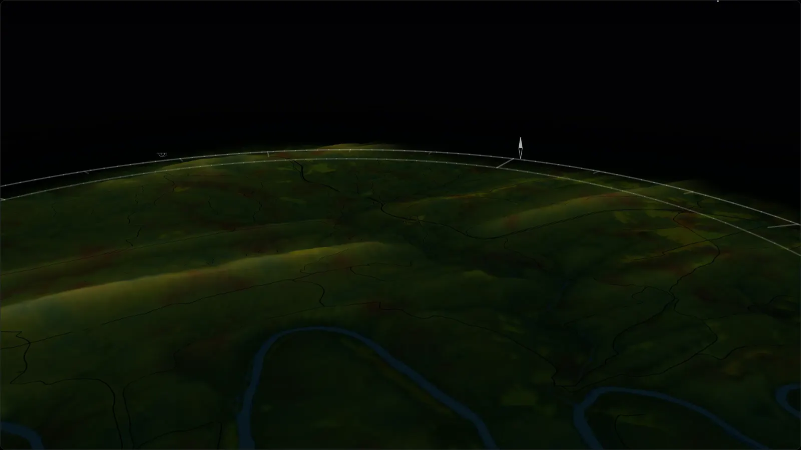
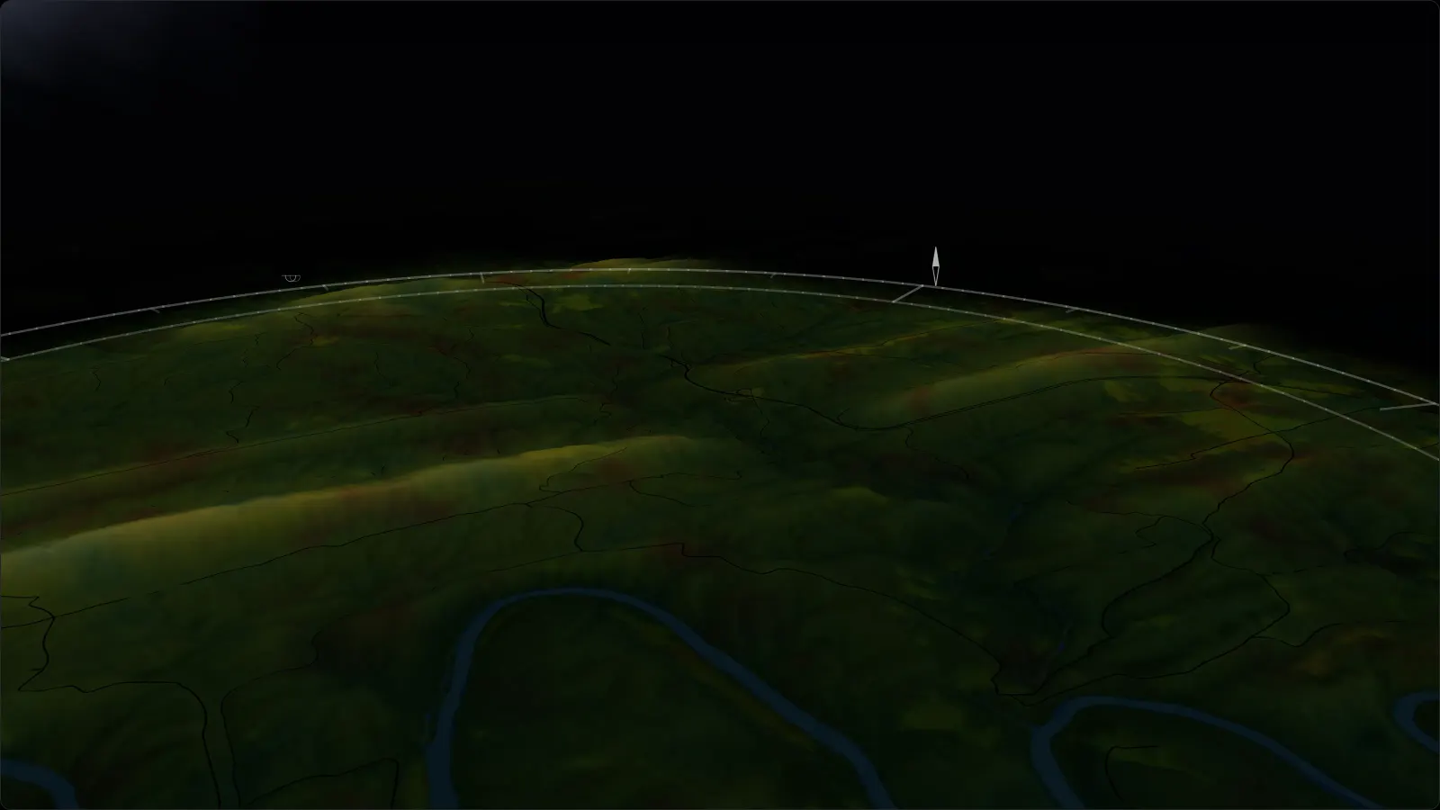
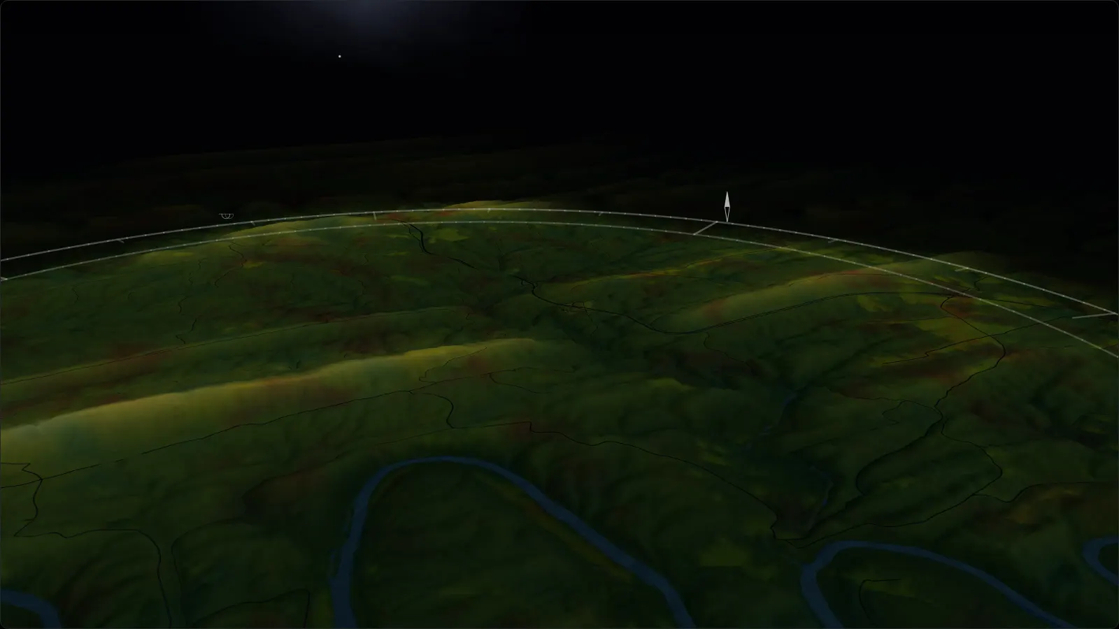
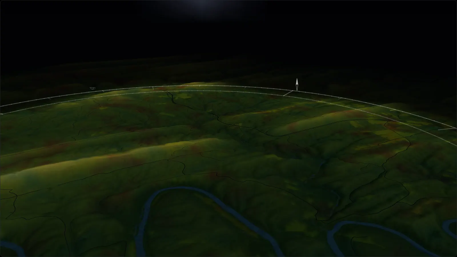
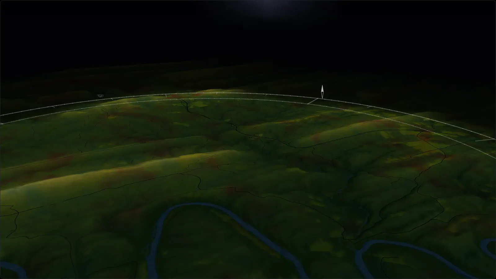
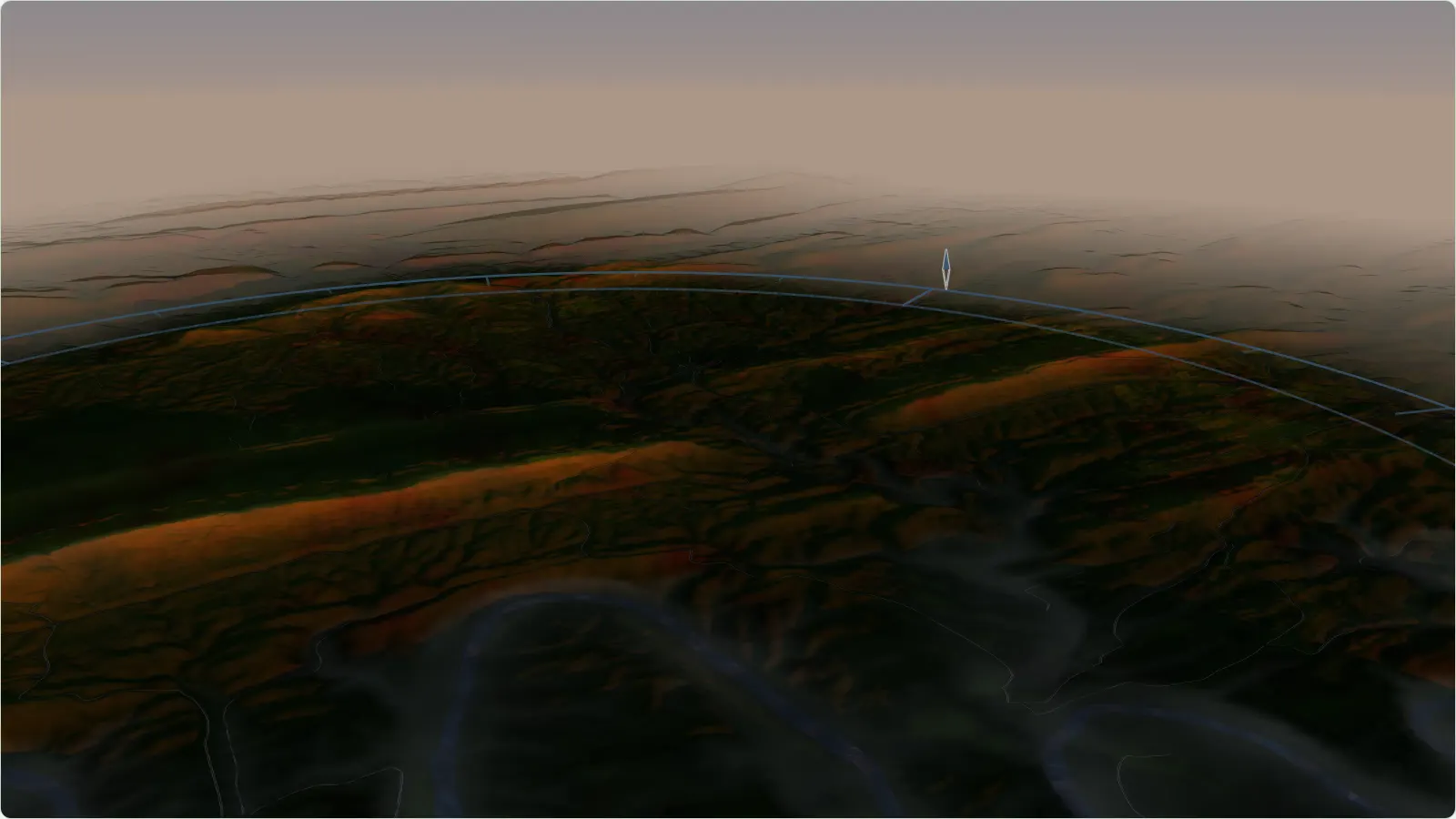
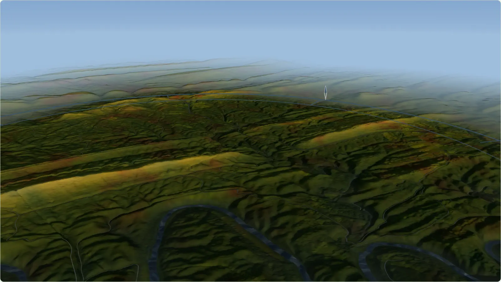
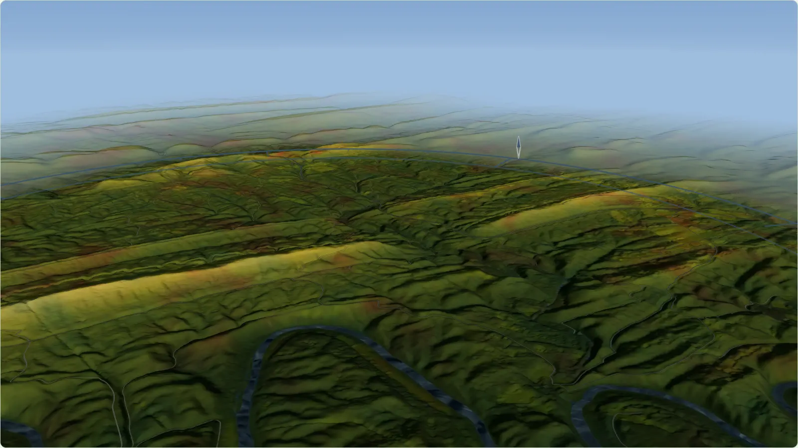
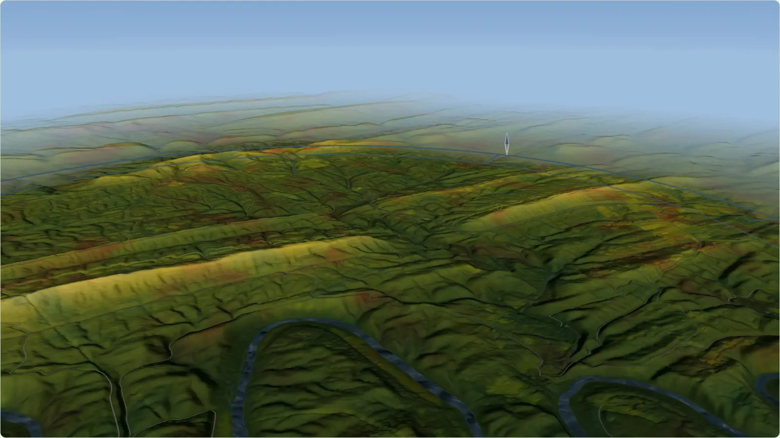
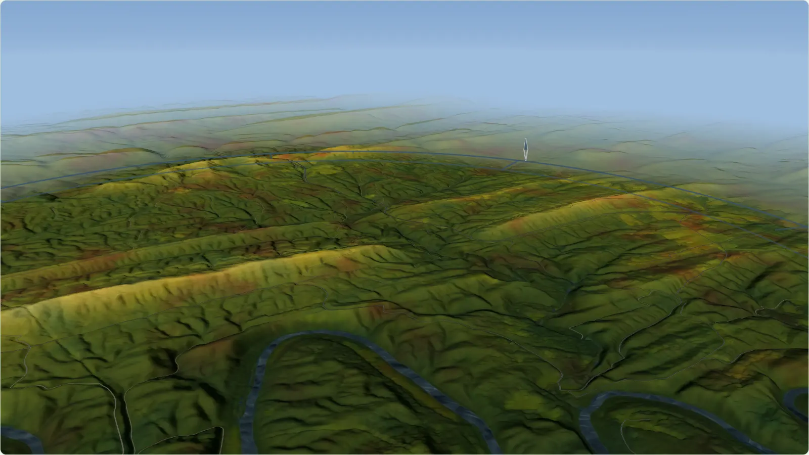
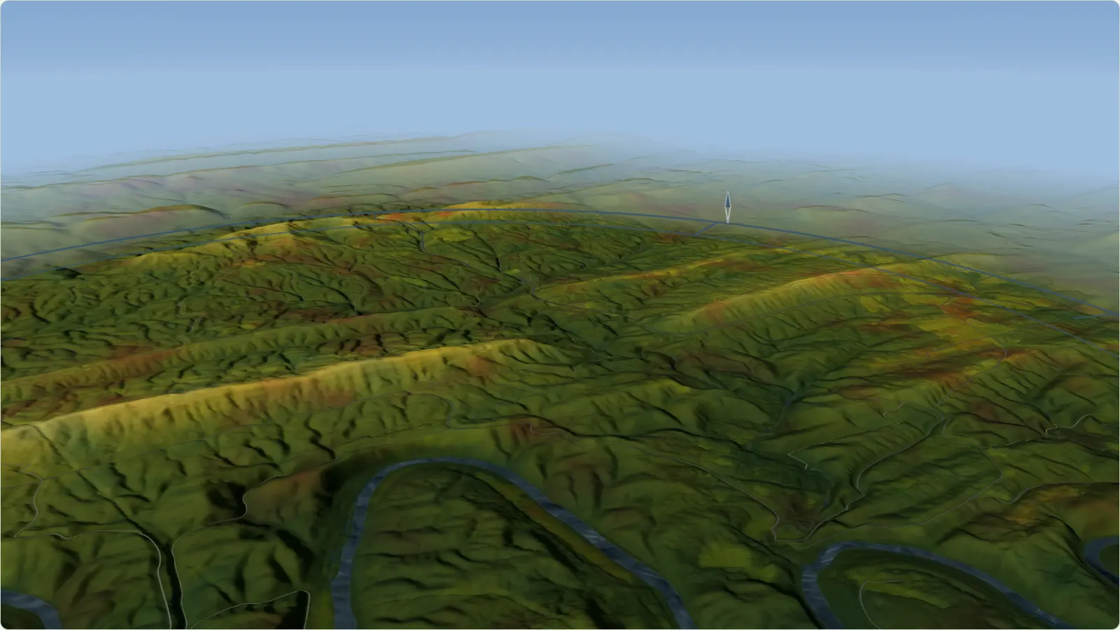
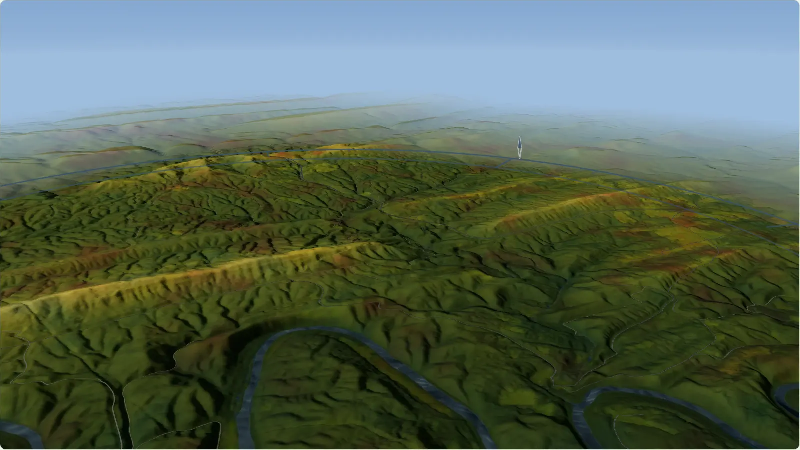
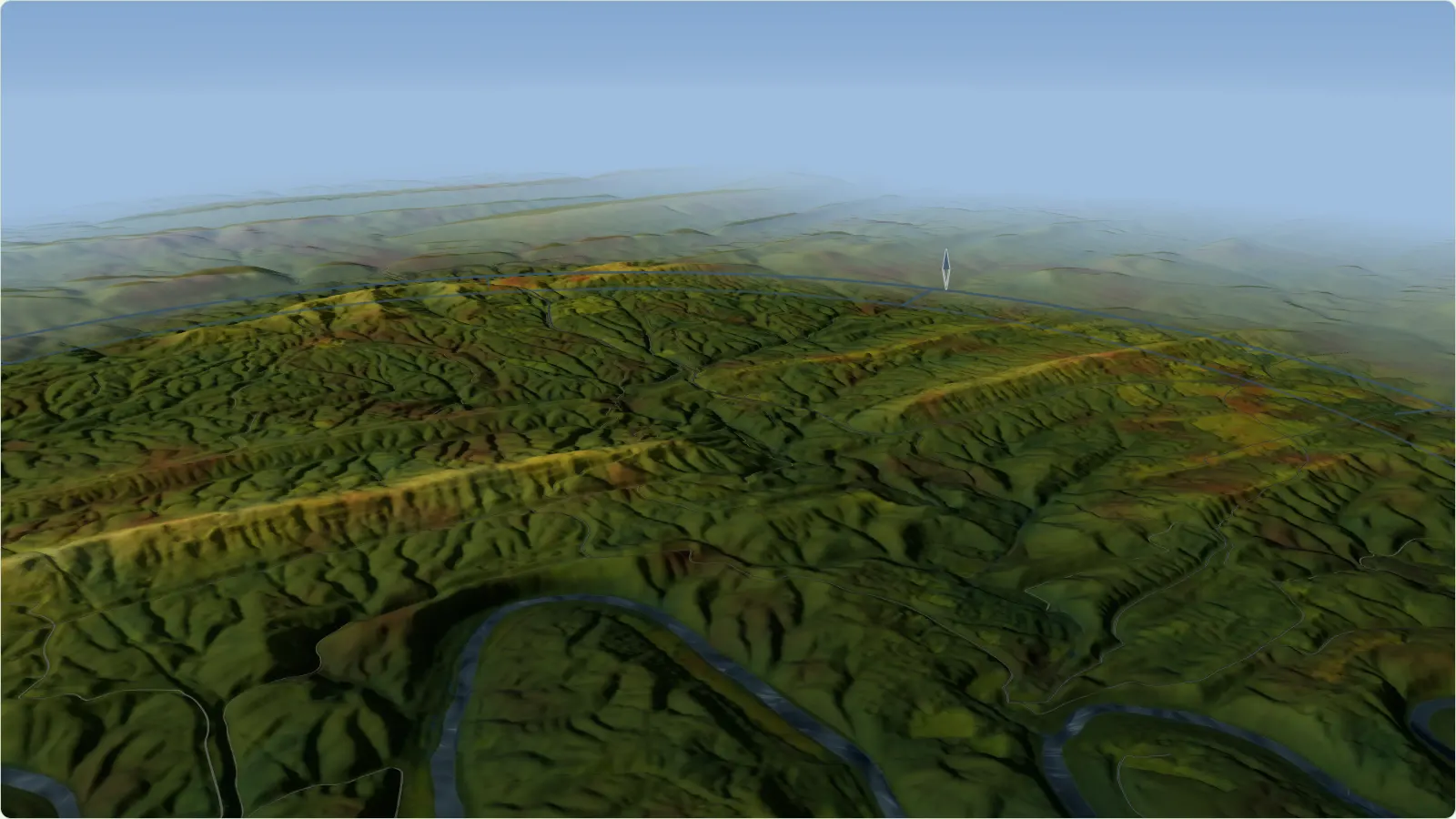
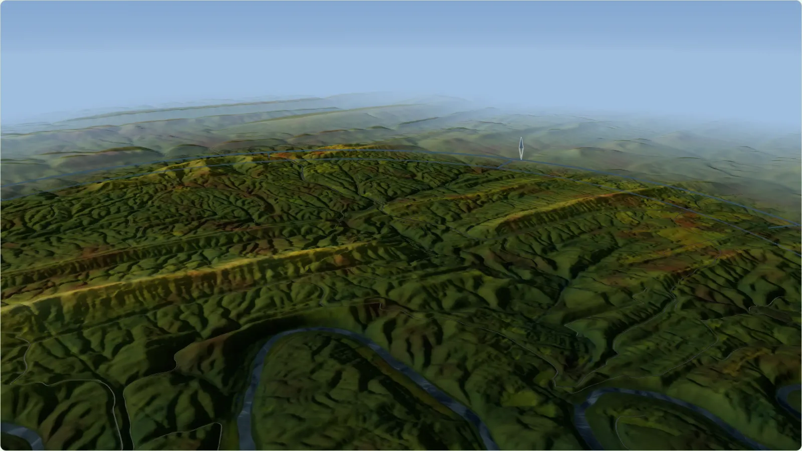
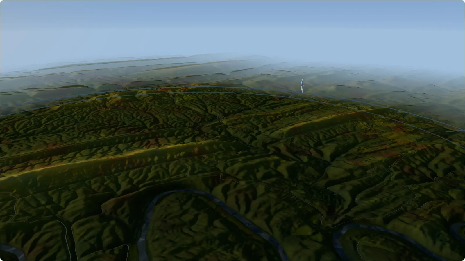
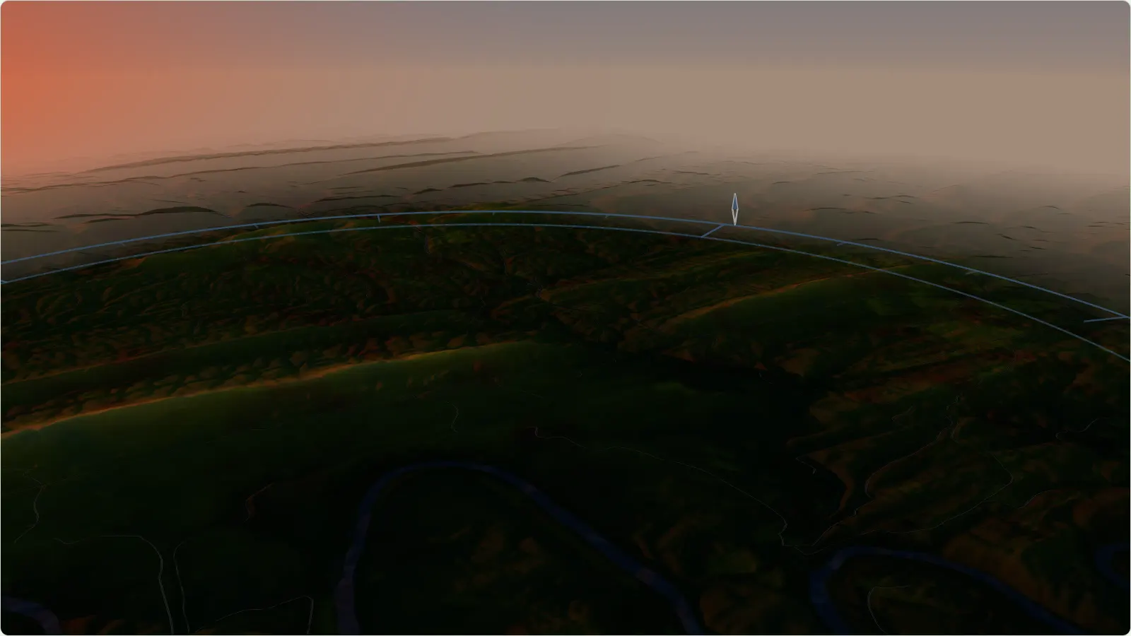
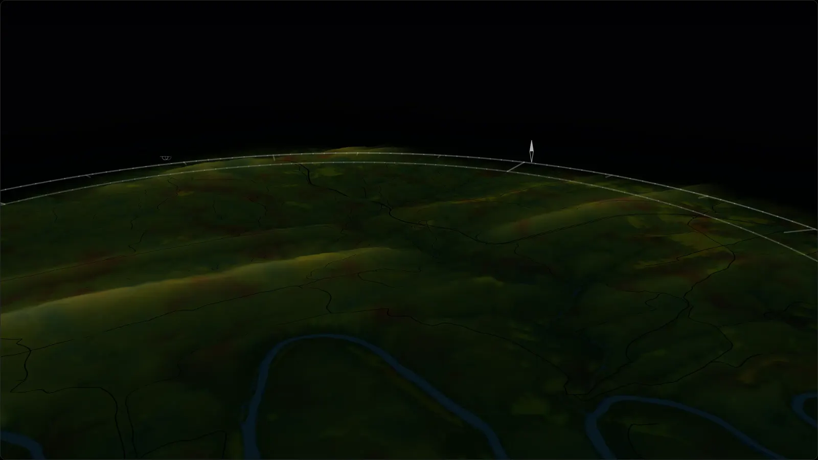
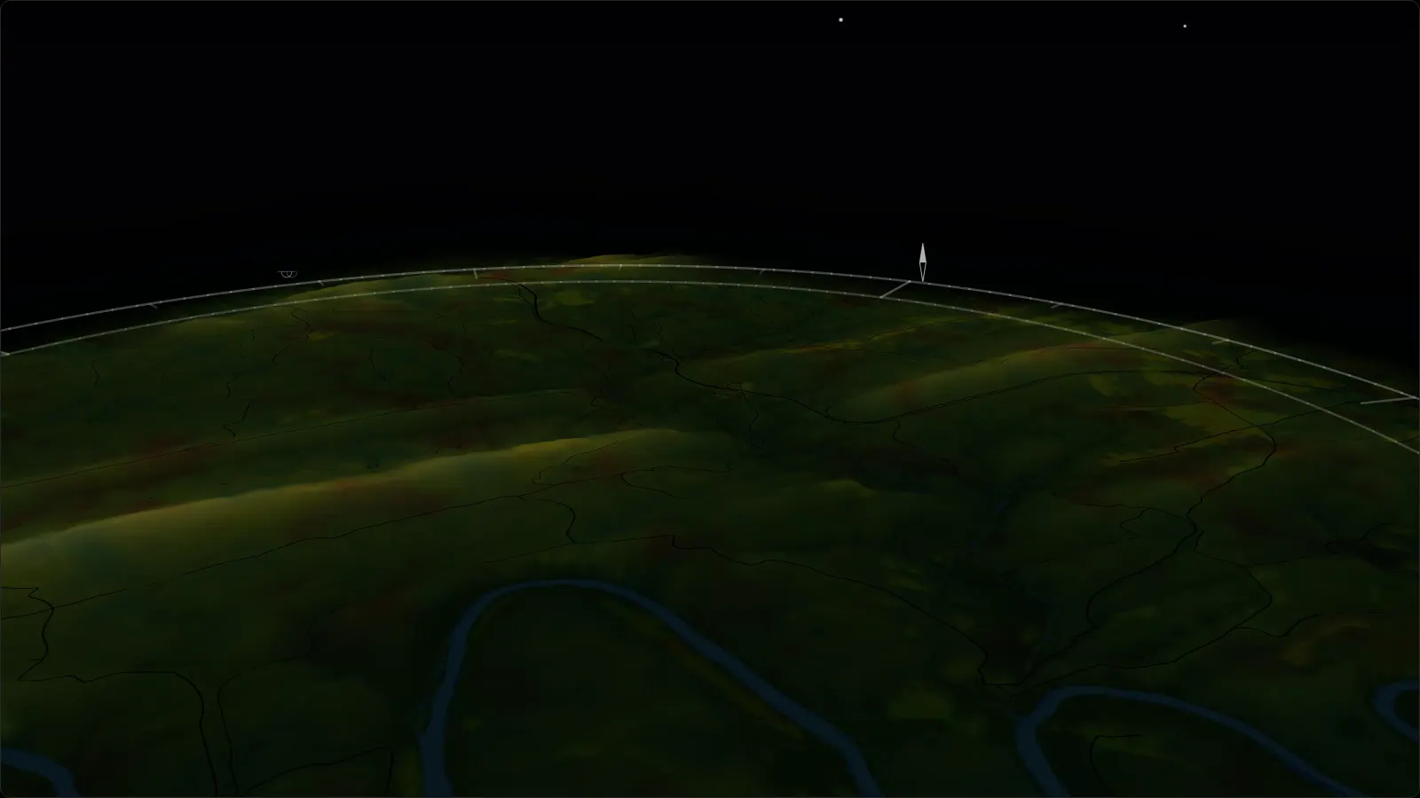
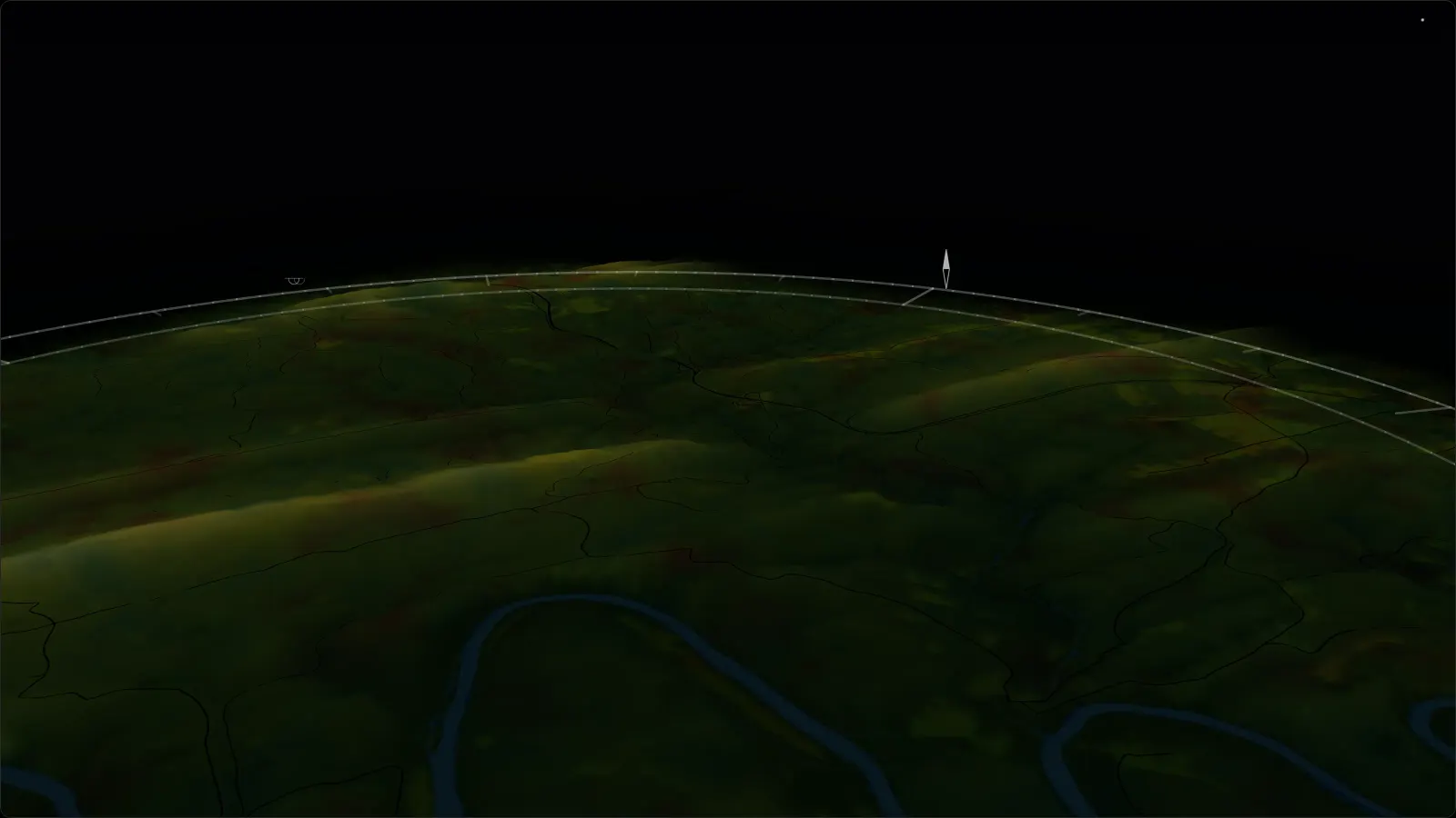
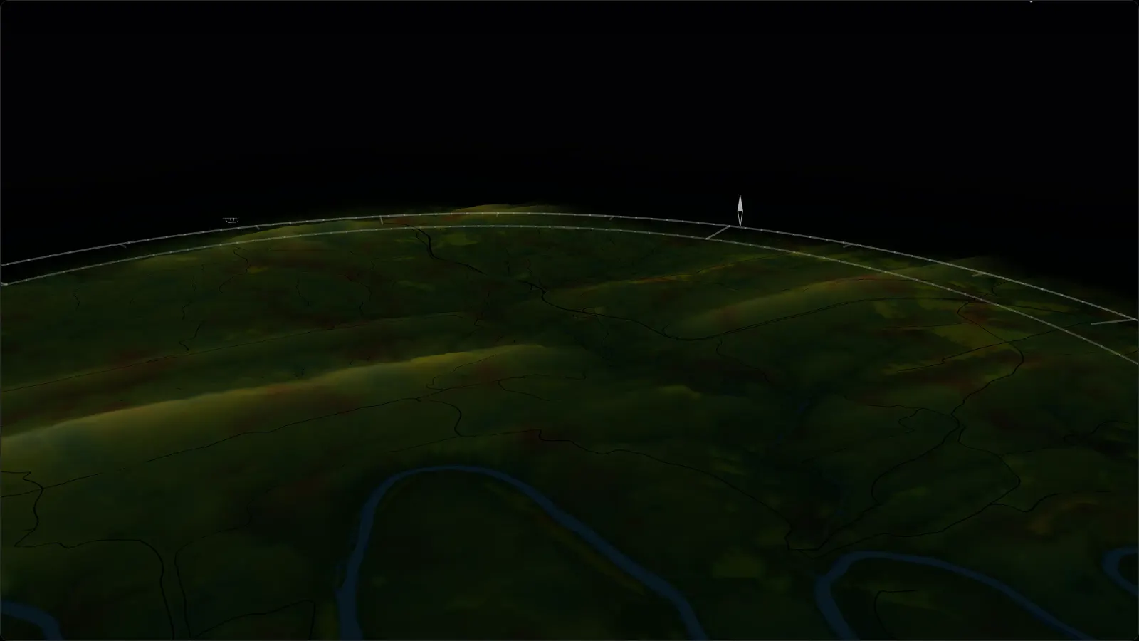
The picture at the top of this page is a still from this map. In the app you can move around it: built from the USGS elevation model at true scale, with the roads, the river and the tree cover on it. Every mapped site opens on a 360 computed from where the pitch stands: a whole day of sun and shade in each of five seasons, and the real stars overhead at night.
The nature guide
What is in flower and about this month, with photos; recordings of the night sounds; and the forest's geology, history and night sky.
The night sky
How much sky each site has, the moon’s phase and track, when it gets fully dark, and where the zodiac crosses.
Official notices
DNR closures in DNR’s own words, burn-ban status, and the hunting season in progress, each with its source and the time it was checked. It also lists the biting insects active this month and how likely each creek is to be running.
Works without service
The whole forest guide stays on your phone: every campsite, the 3D map, the terrain, the field guide. It works in the hollows with no signal. Anything you add waits and sends when you are back in range.
Optional account, kept data
Use everything without signing up. Create an account when you want your favourites, private notes and photos, trip journal and shared plans kept across devices, your name on the reports you send, and the seasonal digest if you want it.